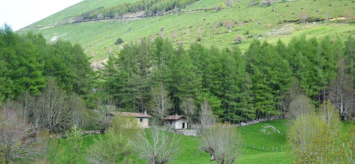
Dotted with huts and shelters, the track makes its way between meadows and primeval forests of beech trees, holm oak and oak trees crossing and linking Natural Parks and Protected Natural Areas where the use of grasslands for grazing facilitates the conservation and maintenance of its natural values with domestic livestock and threatened species existing in harmony.
Two stages of this route pass through our region. Here is more information:
Arantzazu – Arlaban
From the Sanctuary of Our Lady of Arantzazu, the route crosses the shady Ranges of Elgea and Urquilla reaching the valley of Salinas de Leniz. The road, chafed with a profusion of ravines that sweep down the mountain side, emerges in Degurixa, where the transhumant shepherds in the valley of Leniz from time immemorial have made the climb for secular motives with their herds, as is evidenced by the burial mounds and dolmens that still exist.
Starting point: Arantzazu:
Arrival: Arlaban
Distance: 28.2 km.
Time: 10 hours and 43 minutes
Slope: 2092.9 m.
Google earth: GR-282: arantzazu-arlaban.kml
MIDE data: gr-282 lehen etapa
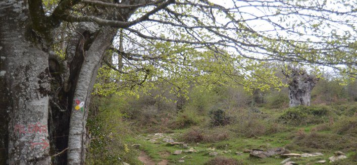
Description Ibilbidearen mapa
The track goes through San Adrian tunnel, one of the most famous and strategic in the Basque region where, in the past, you could find the post of irregular territorial troops and an inn. The tunnel, work of nature, houses a hermitage dated from the 11th century.
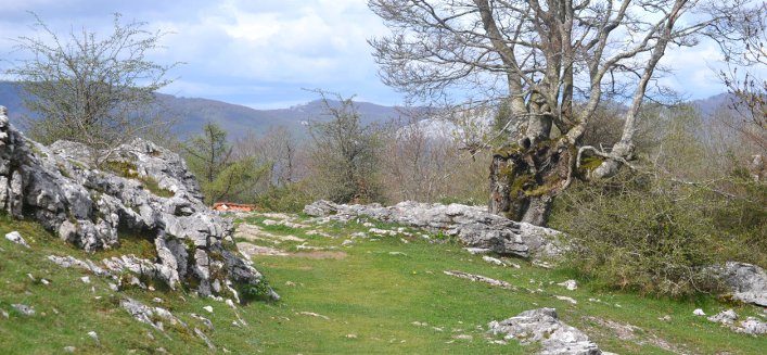
The transition from Aralar to the Natural Park of Aizkorri-Aratz is very short. The track crosses abrupt and rocky limestone ridges that protect the plains of Urbia amidst the highest peaks of the Cantabrian-Mediterranean water divide before descending to Arantzazu.
Starting point: Mikeleteen etxea
Arrival: Arantzazu:
Distance: 11.5 Km.
Time: 4 hours and 58 minutes
Slope: 574 m
MIDE data: gr-282 lehen etapa

